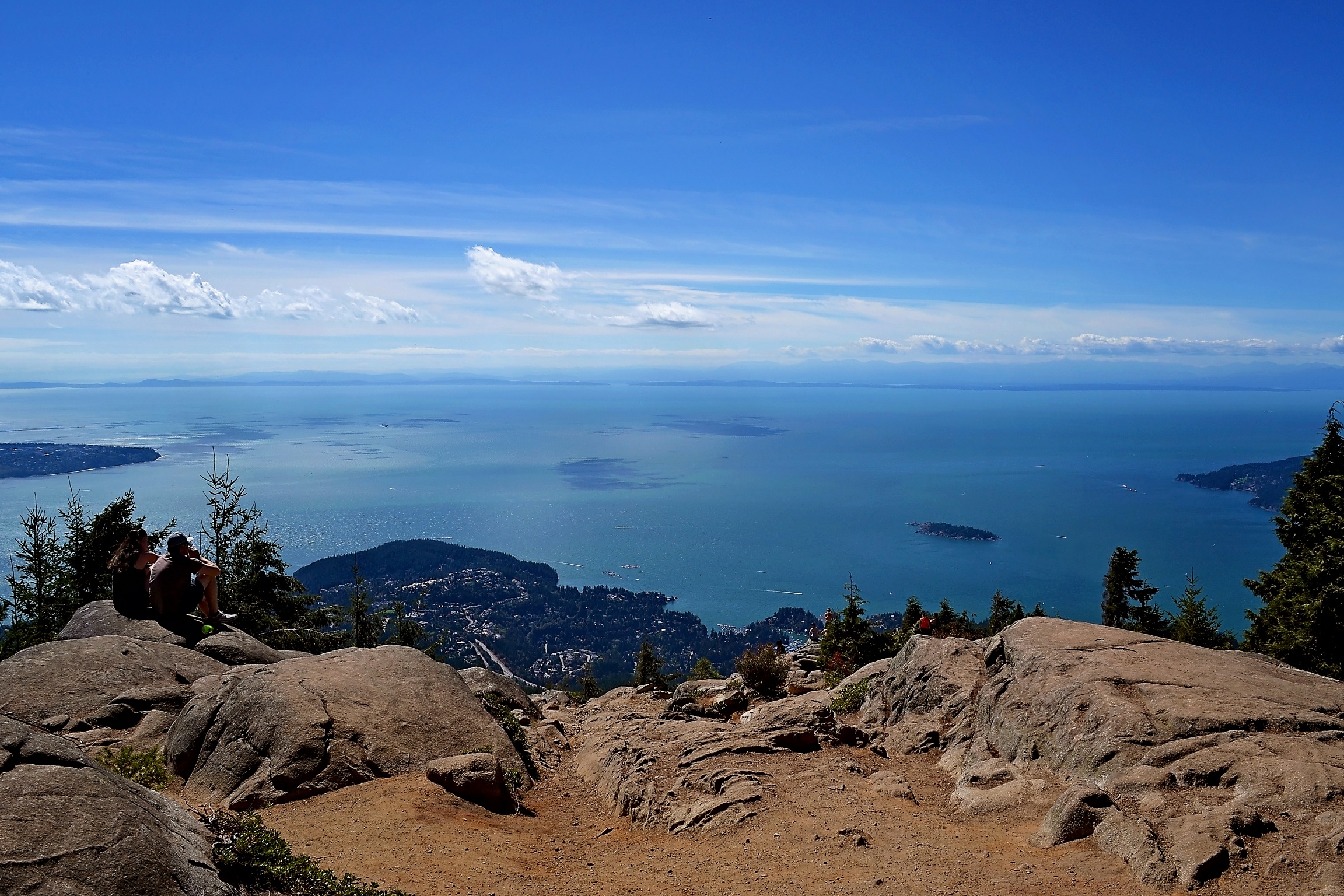
Hiking to Eagle Bluffs Viewpoint in Cypress Provincial Park, B.C.
Location: Cypress Provincial Park Park here: 6000 Cypress Bowl Road, Vancouver Hike Distance: 8-9 kilometres (round-trip) Hike Duration: 3-4 hours (10:30 start/2:30 finish, 20-30 minutes at Eagle Bluffs) Difficulty: Intermediate What makes it intermediate? A 1.8-km uphill start Park website: env.gov.bc.ca/bcparks/cypress Eagle Bluffs has become a very popular hike because the viewpoint offers unobstructed views of Vancouver, Georgia Straight, West Vancouver, Howe Sound, Bowen Island and Gibsons. I’ve been meaning to hike Eagle Bluffs for some time now, but when I first attempted it April 30th the trail was still too snowed-in for my runners. I ditched and headed for Dog Mountain in Mount Seymour Provincial Park. Today of course, was a bright, bluebird August day. Only thing was, I didn’t have anyone to go with. Then I thought about the hundreds (thousands?) of people who would be hiking to Eagle Bluffs. So off I went. Finding the Trailhead After exiting Highway 1 to Cypress Provincial Park, drive until the road ends at Cypress Ski Area. Along the way you’ll surely see cyclists making the long slog to …

